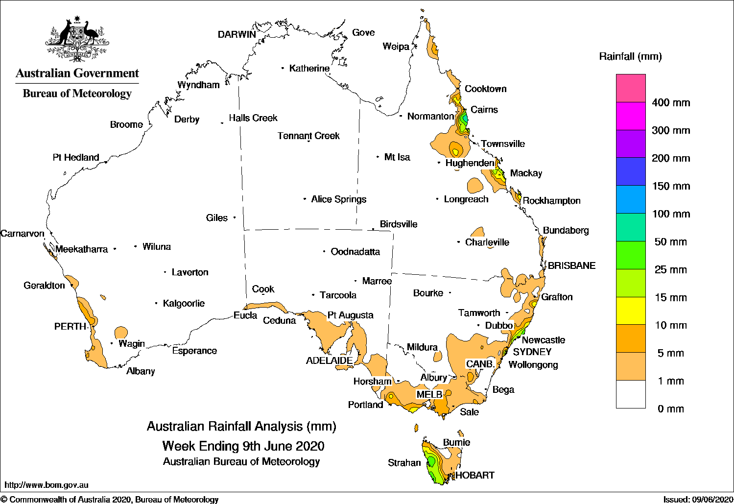
Cold fronts brought light to moderate falls to southwest and southeast Australia. Onshore flow brought showers and moderate falls to the north tropical coast of Queensland.
Last seven days: A large high pressure system dominated the continent until mid-week, with very little rainfall recorded apart from isolated coastal showers, with 4 June analysed as one of the driest days on record since 1910, nationally.
During the middle of the week, a weak cold front tracked northeast across Tasmania, with light falls to southwest Tasmania and southern Victoria. In the second half of the week, a cold front and low pressure system approached southwest Western Australia, and generated mainly light falls along the west coast of Western Australia.
At the end of the week, a trough was located from northwest Queensland to northeast New South Wales, linked to a low pressure system off the New South Wales Coast. Isolated showers developed over parts of northern and central Queensland, while light to moderate falls were reported along the central to northeast coast of New South Wales.
Moist onshore flow brought showers to pockets of the east coast of Queensland coast for most of the week, with heavier showers and moderate falls reported in the north tropical Queensland coast.
Rainfall totals in excess of 50 mm were recorded in a small part of western Tasmania, and in the north tropical coast of Queensland, including the highest weekly total of 86 mm at Innisfail.
Rainfall totals between 10 mm and 50 mm were recorded in the north tropical and central coast of Queensland, western Tasmania, pockets of the east coast of New South Wales, and small parts of the southern coast of Victoria.
Falls of less than 10 mm were recorded along the west coast of Western Australia, southern South Australia, southern and eastern Victoria, eastern parts of Tasmania, southern inland and coastal parts of New South Wales, and along pockets of the east coast of Queensland.
Highest weekly totals
New South Wales and Australian Capital Territory
45 mm Crawford River (Crawford)
38 mm Randwick (Randwick St)
37 mm Marrickville Golf Club
Victoria
16 mm Mount Baw Baw
14 mm BalookAireys Inlet, Ferny Creek
Queensland
86 mm Innisfail
76 mm South Johnstone Exp Stn
70 mm Innisfail Aerodrome
Western Australia
23 mm Northcliffe
21 mm Muchea
11 mm Boyanup North
South Australia
9 mm Ashton
8 mm Ironstone RoadHeathfield Works Depot
Tasmania
78 mm Mount Read
54 mm Lake Margaret Dam
45 mm Lake Margaret Power Station
Northern Territory
0.4 mm Gove Airport
0.2 mm Centre Island
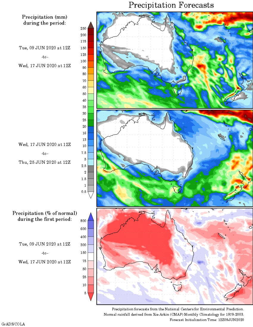
Rainfall outlook


HAVE YOUR SAY