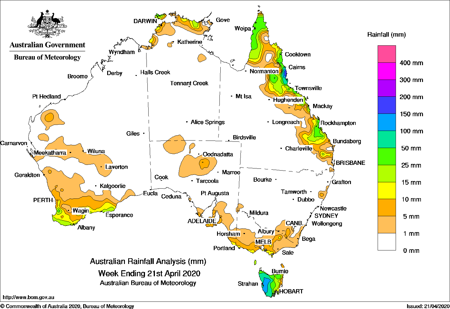
Past seven days: In the first half of the week, a slow-moving high pressure system in the northern Tasman Sea extended a ridge along the east coast, with showers in a moist onshore flow producing moderate falls across the north tropical Queensland coast, Cape York Peninsula, and the coastal Top End of the Northern Territory. In the south, a cold front tracked across southeast Australia, with a fresh west to southwesterly airstream persisting across Victoria and Tasmania. Moderate falls were reported in western Tasmania.
By the middle of the week, another cold front tracked across the southeast, bringing further moderate falls to western Tasmania. Showers continued along the northeast Queensland coast in onshore flow, and thunderstorms produced moderate falls about the Cape York Peninsula.
In the second half of the week, a surface trough extended inland from the Queensland coast, and showers and thunderstorms developed from the north tropical to Wide Bay and Burnett coasts, producing moderate falls. Severe thunderstorms produced giant hail of more than 7 cm in diameter in parts of the Capricornia District in Queensland.
A cold front and pre-frontal trough tracked across southwest Western Australia and produced moderate falls in the southwest and parts of southern coast of that State. The cold front tracked across the Southern Ocean and then southeast Australia at the end of the week, producing light falls in southern and southeast coastal parts of South Australia, and widespread light falls across most of Victoria except in the northwest. Moderate falls were also recorded in northern and western Tasmania as the cold front crossed that State.
Rainfall totals in excess of 100 mm were recorded in western Tasmania and about the north tropical coast of Queensland. The highest weekly total was 230 mm at Tully Sugar Mill in northern Queensland.
Rainfall totals in excess of 50 mm were recorded in parts of the north tropical and Burdekin coasts of Queensland, and the western half of Tasmania.
Rainfall totals between 10 mm and 50 mm were recorded in southwest and parts of the southern coast of Western Australia, the coastal Top End of the Northern Territory, much of the Cape York Peninsula, and from the north tropical coast to the Wide Bay and Burnett Districts and adjacent inland districts of Queensland.
Highest weekly totals
New South Wales and Australian Capital Territory
18 mm Yarras (Mount Seaview)
12 mm Cabramurra AWS
11 mm Moruya Heads Pilot StationUlladulla AWS
Victoria
22 mm Wilsons Promontory Lighthouse
20 mm Balook
14 mm Main Ridge, WonthaggiPortland (Cashmore Airport)
Queensland
230 mm Tully Sugar Mill
215 mm Innisfail
187 mm Gairloch
Western Australia
50 mm Bidyadanga
27 mm Northcliffe
26 mm Burekup
South Australia
16 mm Inman Valley
14 mm Parndana (Turkey Lane)
12 mm Adelaide (Morphett Vale)
Tasmania
172 mm Mount Read
114 mm Queenstown (South Queenstown)
112 mm Lake St Clair National Park
Northern Territory
73 mm Labelle Downs
34 mm Pirlangimpi Airport
25 mm Geriatric Park
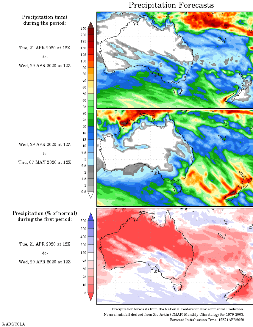
Rainfall outlook


HAVE YOUR SAY