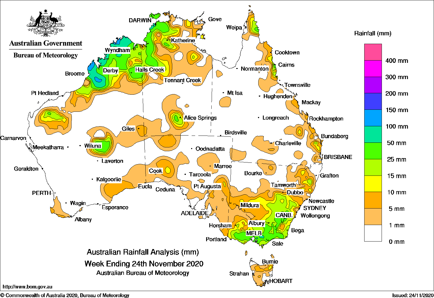
Surface troughs produced thunderstorms across the Kimberley in Western Australia and Top End in the Northern Territory, while A surface and upper-level trough produced moderate falls in southern and eastern Victoria.
Past seven days: At the start of the week, a surface trough was located across the Kimberley and the Top End , and from the Gulf Country to the south-east of Queensland. Showers and thunderstorms developed over the Kimberley, western parts of the Top End in the Northern Territory, and in the south-east coast of Queensland. Another surface trough extended from the Pilbara, through to central and south-east Western Australia, with isolated thunderstorms developing over parts of the Southern Interior District, and in areas of south-west South Australia. Onshore flow brought showers to the east coast of Queensland, and moderate falls were recorded over the tip of the Cape York Peninsula east coast, and about the north tropical Queensland coast.
From the middle of the week, broad surface troughs were located in northern and eastern Western Australia, the Northern Territory, through South Australia and towards eastern New South Wales. The troughs and an upper-level disturbance produced isolated showers, thunderstorms and patchy cloud across the north-west, central and inland eastern New South Wales. Widespread moderate falls were reported in the Kimberley in Western Australia and the north-west Top End in the Northern Territory. Widespread moderate falls were also reported over south-east New South Wales and much of southern and eastern Victoria, with the light falls reported over remaining areas of Victoria and large parts of southern New South Wales.
Rainfall totals between 50 mm and 100 mm were reported in about the Kimberley coast in Western Australia; north-west parts of the Top End in the Northern Territory, and the Central, the West and South Gippsland districts in Victoria. Isolated spots in the north tropical coast in Queensland and the Australian Capital Territory also recorded weekly rainfall totals in excess of 50 mm. The highest weekly total was 127 mm at Truscott in the north Kimberley coast in Western Australia.
Rainfall totals between 10 mm and 50 mm were reported in the Kimberley and a small area in central Western Australia, the north-west Top End and central parts of the Northern Territory, parts of east coast Queensland, an area of north-east and south-east New South Wales, and southern and eastern half of Victoria.
Highest weekly totals
New South Wales and Australian Capital Territory
74 mm Mount Ginini AWS
43 mm Canberra Airport
42 mm Tuggeranong (Isabella Plains), Wollomombi (Wollomombi River)
Victoria
76 mm Mount Baw Baw
68 mm Ferny Creek
65 mm Moorabbin Airport
Queensland
52 mm Whyanbeel Valley
36 mm Sandy Cape Lighthouse, Lockhart River Airport
Western Australia
127 mm Truscott
111 mm Theda
94 mm Dampier Downs Airstrip
South Australia
16 mm Crafers West
13 mm Morchard (The Rocks)
12 mm Hahndorf
Tasmania
24 mm Launceston Airport
20 mm Upper Esk (South Esk River)
19 mm Pioneer (Main Road)
Northern Territory
79 mm Dum In Mirrie Airstrip
74 mm Territory Wildlife Park
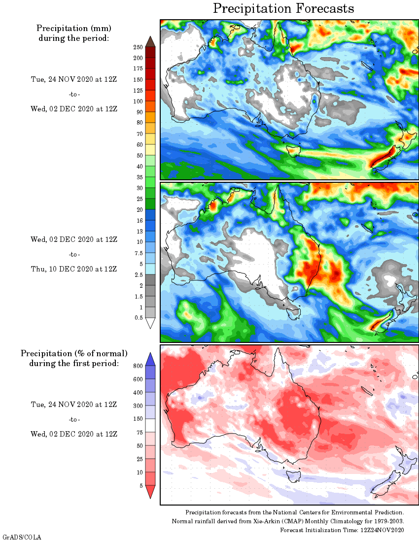
Rainfall outlook


HAVE YOUR SAY