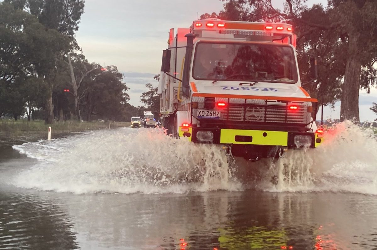
Localised flooding has been occurring in most inland NSW valleys for weeks, and will make this year’s harvest a challenging one. Photo: Forbes SES
THE already sodden New South Wales grainbelt is forecast to receive soaking rain this week, and contingency harvest plans are being made ahead of the first header rolling into the paddock.
The Bureau of Meteorology has forecast falls totalling 50-70 millimetres up to October 9, with only the north-east corner forecast to receive less than 50mm.
Thanks to mild conditions and above-average in-crop rainfall, bumper yields are expected, but as La Nina conditions persist, attention is turning to the logistics of getting machines into paddocks, and getting grain out.
Reduced area curbs pressure
In the wettest parts of NSW, pressure on harvest logistics will be alleviated by the fact that most growers were only able to plant a portion of their intended winter-crop area.
Barmedman grower and independent consultant John Minogue, said 2022 was shaping up to break the farm’s 1956 rainfall record of 843mm.
“We’re up to 700mm now, and we’ll get to 820mm just on what’s on the forecast,” Mr Minogue said yesterday.
The Minogues only planted 25 per cent of intended area because conditions got too wet to complete the program.
“We’ve got limited crop in, and most people are down on area for the same reason.
“We were considering summer-cropping options, but now we’re just hoping for a dry run to do our spraying and get the next winter crop in.”
Ready for handling challenge
For growers in central and southern NSW especially, the late season has provided some extra weeks to plan, secure and deploy equipment.
Mr Minogue said growers and contractors were aware of the pressures that big yields and wet conditions will pose, and are planning accordingly.
“People are looking at bag options, and chaser bins are at a premium.”
A cool September has kept the crop behind its normal timing benchmarks, and will enable it to pile on some extra yield over much of the state.
“We’re 2-3 weeks behind where we’d normally be; canola’s just finished flowering, so we’re 4-6 weeks to windrowing.”
While northern NSW ideally finishes harvest before southern NSW starts, this year is expected to concertina the action in all regions, especially if the weather turns hot and dry and accelerates ripening.
“Paddocks around Moree look like they are going to be coming in at the same time for windrowing as canola crops around here.
“That could be a real challenge for contractors.”
Options considered
At Walgett in north-west NSW, independent agronomist and grower Greg Rummery said most crops were still green.
Even ahead of rain on the immediate forecast, Mr Rummery said trafficability is going to be problem.
“We’ve got canola that will need windrowing next week; that won’t happen,” Mr Rummery said.
“It’s going to be difficult to swath canola, and I’m not sure how that will play out.
“The ground’s damp, so we will direct head it later if we have to.”
Most growers in the wider Walgett region got intended winter-crop area planted, albeit with a rain-enforced break in the middle.
Mr Rummery said wheat’s yield prospects vary from near-record for the early ones to around average for the later ones.
“The crop that was planted late April and early May, so bang on time, and where it hasn’t been constrained by waterlogging is magnificent, and could be 5-7 tonnes per hectare.
“Then there’s the later crop, which went in later in June and into July, and that’ll be more like 2.5-4t/ha.”
“Even the late crop’s yield looks like it will be well above average.”
Harvest in Walgett is currently expected to be around one week later than normal, and some earlier crops are just starting to turn.
“We expect to be harvesting in four weeks if we get harvest weather.
“We’re typically into some early wheats in the last week of October; that’s now going to be the first week of November.”
Mr Rummery said Walgett’s cereal, canola and faba bean crops were still building yield potential.
“The exception is the chickpea crop; we’ve got a lot of unhappy chickpeas.”
The region’s chickpea area is down sharply on the norm due to poor price prospects relative to canola and cereals, plus wet conditions in June, and Mr Rummery said the inherent shortness of the crop was making it suffer.
“They’ve got 20-40pc waterlogging.”
With Walgett forecast to receive at least 55mm of rain between now and Sunday, and a flood coming down the Namoi River now, that could increase.
“We farm on the floodplain, and that’s what happens.
“It’s only a moderate flood, and it looks like it won’t get as high as it did in December 2021.”
“Our big concern is the next rain event, and the whole issue of trafficability during harvest.”
Timed releases
Dams in NSW are full or close to it following consecutive downpours on the tablelands, and Dubbo-based WaterNSW spokesman Tony Webber said releases are being timed so as minimise impacts downstream on the state’s inland rivers.
“Large thunderstorms in key parts of the catchment have generated inflows.
“The rivers are high, the downstream tributaries are high.”
Burrendong Dam on the Macquarie River at 118pc capacity is due for more releases, and is down from 136pc in August, but up from less than 2pc in early 2020, its low in the wake of the 2017-19 drought.
Mr Webber said Water NSW has had to let water go out of its storages to make room for inflows.
“We’ve done nothing but let water go at just about every one of these dams.”
“Dams aren’t the villain, but they can’t always be the hero.”
“The big contributor is it’s so saturated; we’re seeing rain events that aren’t even exceptional causing flooding.”
The Bureau of Meteorology yesterday issued an initial flood water for NSW’s inland rivers, with minor to moderate or major flooding expected in systems from the Upper Macintyre River on the Queensland border to the Upper Murray on the Victorian border.
In a statement released yesterday, WaterNSW said it has cut water releases from key regional dams after cautiously lowering storage levels in recent days in preparation for inflows generated by large rainfall events forecast to cross regional NSW.
In recent days WaterNSW has been cautiously releasing water to create storage capacity at major dams including Blowering and Burrinjuck in the state’s south, Burrendong and Wyangala in the central-west and Keepit and Copeton in the north-west.
This water has been released by WaterNSW’s dam operators over the past 5-6 days, at rates calculated to create capacity to capture more inflow without adding to flood impacts downstream.
HAVE YOUR SAY