Drier weather has returned to flood-ravaged areas in eastern and southern Australia today, although three more rain-bearing systems are on the horizon during the next 10 days.
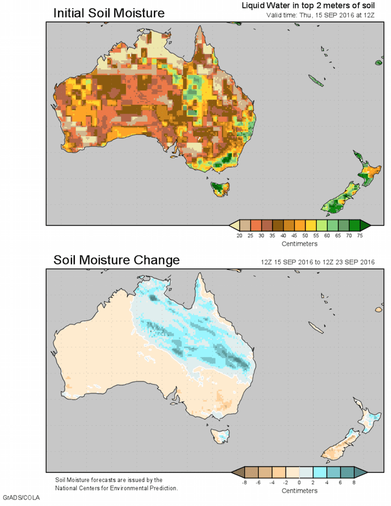
Close to 200mm of rain has fallen in parts of western Victoria over the last week, causing widespread moderate-to-major river flooding. This is about two month’s worth of rain for this time of year. The Avoca, Loddon and Wimmera Rivers are still under major flood warnings today as peaks make their way downstream despite the dry weather.
Parts of inland New South Wales have also received upwards of 100mm during the last week. Moderate flooding was occurring in rivers from the state’s Northwest Slopes and Plains down to the Riverina this morning, while a major flood warning remains in place for the Lachlan River.
Minor flood warnings were also in place this morning for parts of southern Queensland, South Australia and Tasmania.
Today’s respite from the rain is thanks to a large high pressure system drifting across eastern Australia. Unfortunately, there are more wet weather systems lining up to west of our friendly high, each expected to bring further rainfall to all five flood-weary states.
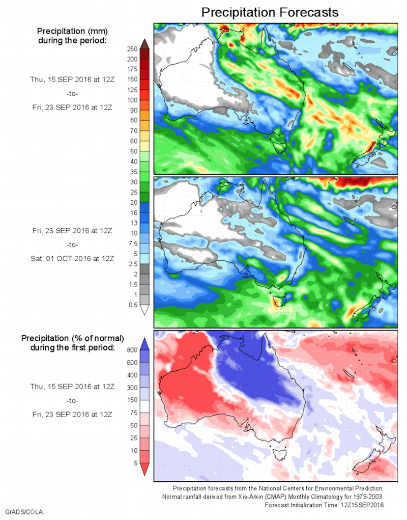
The first system will arrive on the weekend. A front and trough will cause rain, showers and thunderstorms to spread across southern and central Australia on Saturday, then spread over the southern half of Queensland, New South Wales, Victoria and Tasmania during Saturday night and Sunday.
Over the weekend, falls in the rage of 5-20mm are likely across the southeastern states. While this is less than 20 percent of the rainfall experienced in parts of western Victoria over the past week, it could be enough to cause renewed river level rises. Heavier rain is likely in southern Queensland on Sunday, with parts of the Maranoa and Darling Downs expected to see more than 50mm. A flood watch remains in place for western and southern Queensland during this period.
Drier weather will return on Monday, courtesy of another noble high pressure system. Once again, the dry break won’t last long.
A front and tough interacting with tropical moisture will trigger rain and storms across the eastern half of Australia on Tuesday and Wednesday next week. All areas currently being affecting by flooding will see more wet weather during these two days.
There is still some model uncertainty regarding how much rain will fall from this system, although it looks like South Australia, Victoria, Tasmania and southern New South Wales will receive another 10-20mm, possibly more in some areas. Northern New South Wales and southern and western Queensland should get the heaviest falls, probably in the 20-40mm range with some locations exceeding 50mm.
Looking further ahead, computer models are indicating another widespread outbreak of rain could be on the cards for the five flooded states some time between Saturday 24th and Tuesday 27th of September.
Unfortunately, the flooding situation across southern and eastern Australia is far from over.
Source: Weatherzone, Centre for Ocean-Land-Atmosphere studies
HAVE YOUR SAY