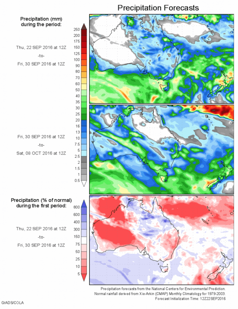
Another burst of showers will hit Australia’s sodden southeast this weekend, but heavier rain and storms are the cards next week, Weatherzone reports today.
A cold front crossing the Bight today will produce a band of rain and isolated thunderstorms in South Australia tomorrow, before spreading showers across remaining southeastern states by Sunday afternoon.
Falls of 5-15mm are likely from the Mid North district down to the Lower South East, including Adelaide and the Mount Lofty Ranges. Rainfall totals on 5-10mm are likely across southern inland New South Wales, Victoria and northern and western Tasmania, with lighter falls elsewhere.
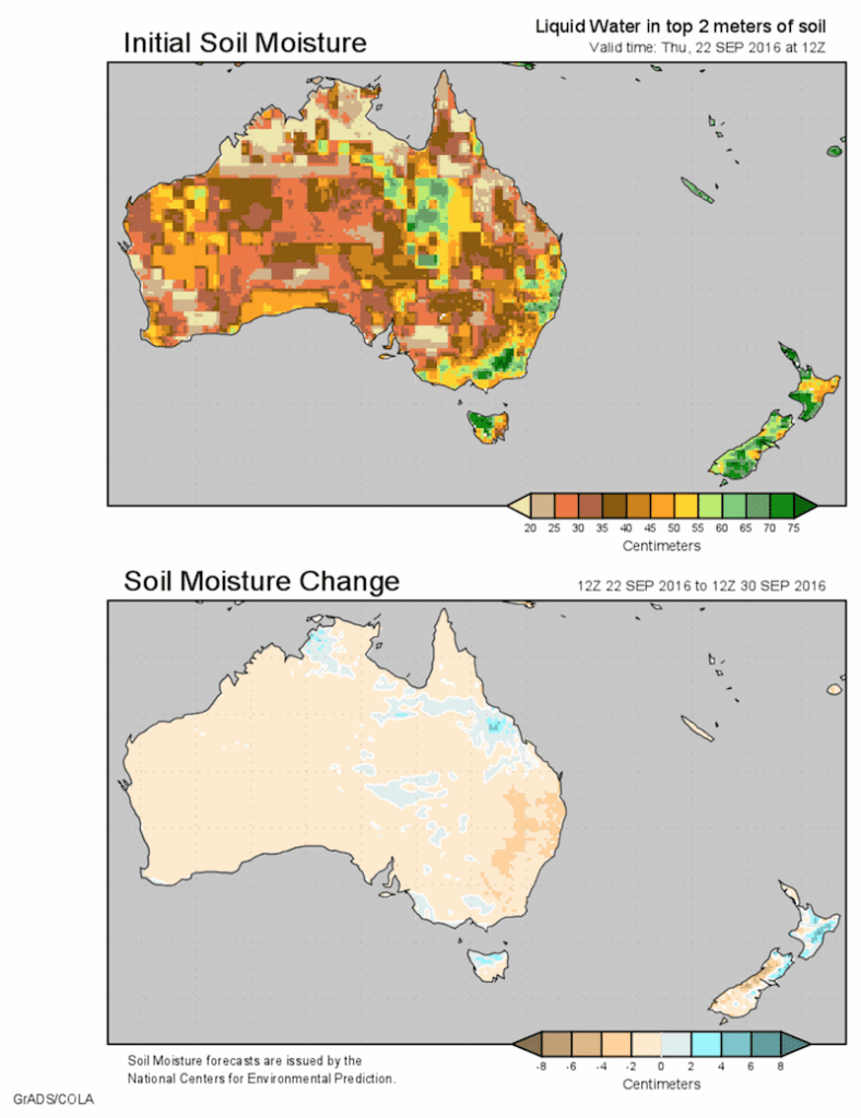
Fortunately, this rainfall should not contribute significantly to the existing flood situation, although it is still advisable to stay up to date with the latest warnings this weekend.
Drier weather will return from Sunday night as a high over central Australia pushes the front into the Tasman Sea. This high looks to remain the dominant feature until the middle of next week, when a stronger front and low could produce more flooding rain.
Computer models are struggling to agree on the position and strength of this next system, so predicting rainfall timing and amounts is difficult. At this stage, rain and storms look most likely to spread across South Australia around Wednesday and Tasmania, Victoria, New South Wales and Queensland on Wednesday or Thursday.
There is potential for another 20mm of rain in flood-affected areas and this rain will be falling on some towns that are already having the wettest spring on record. There is also a risk of severe thunderstorms, which could cause damaging winds, flash flooding and large hail.
With the rain that’s already fallen and what’s still to come, it looks like floodwaters from September will flow into October as Australia’s wet spring rolls on.
Source: Weatherzone, Centre for Ocean-Land-Atmosphere studies


HAVE YOUR SAY