
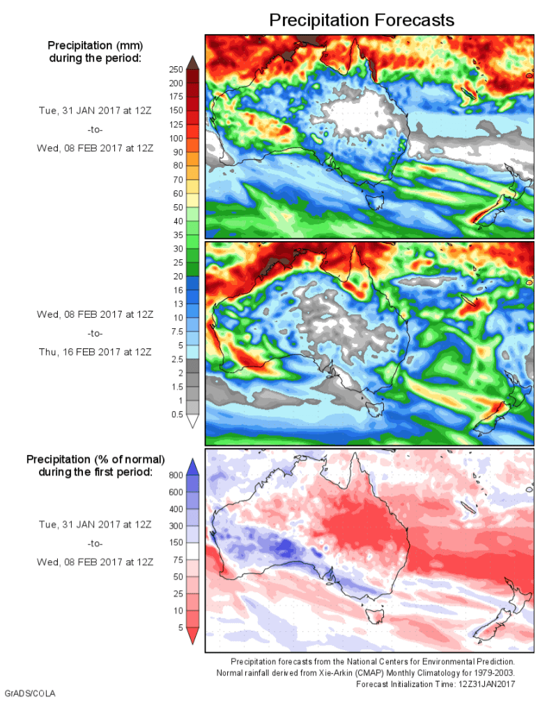
Today’s 14-day rainfall outlook – scroll to bottom of article
Moderate to heavy falls were recorded across western and northern areas of the continent as a monsoon trough tracked along the northwest coast of Western Australia.
Past seven days: At the beginning of the week, a humid and unstable air mass combined with an active monsoon trough over the Northern Territory, with embedded tropical lows enhancing shower and thunderstorm activity. Moderate falls were recorded across much of northern Australia, with particularly heavy falls in the Kimberley and Pilbara. A broad area of low pressure extended from the northwest, through the interior of the continent, with a surface trough triggering isolated showers and thunderstorms in southern parts of the Northern Territory, northeastern South Australia and northeastern New South Wales
By the middle of the week, a tropical low located near the Pilbara coast deepened on the monsoon trough, and tracked southwest. Moderate to heavy falls were reported as the system tracked along the northwest coast of Western Australia. A surface trough extended from the tropical low to southeast Western Australia, generating moderate falls over much of the South West Land Division and southern Western Australia. In the east, thunderstorms formed along and near an inland trough stretching from the Gulf Country to the southern Queensland interior, with rainfall recorded in Queensland’s central interior and southeast.
During the last part of the week, broad areas of low pressure dominated most of Northern Australia, with the tropical low weakening well off the central coast of Western Australia. A surface trough extended from the tropical low to the Great Australian Bight, triggered thunderstorms, with moderate falls reported in the southwest. Showers also occurred over parts of southeastern Australia, with light to moderate falls in western Tasmania.
Heavy falls were recorded along the north tropical and central coasts of Queensland at the end of the week, as a surface and upper level feature enhanced shower activity, producing some locally heavy falls.
Rainfall totals in excess of 200 mm were recorded in the northern half of the Kimberley, including the highest weekly total of 265 mm at El Questro in Western Australia. For January as a whole, El Questro observed its highest monthly total on record for any month of the year.
Rainfall totals between 100 mm and 200 mm were recorded in the central and north tropical coasts of Queensland, the western tip of Cape York Peninsula, northeastern parts of the Top End in the Northern Territory, and most of the Kimberley region in Western Australia. Small pockets of the South West Land Division in Western Australia recorded similar totals.
Rainfall totals between 50 mm and 100 mm were recorded in the central Northern Territory, west into the Kimberley and Pilbara, and also in an area spanning the western and central South West Land Division and extending to the area around Kalgoorlie. Similar totals were recorded in pockets near Alice Springs in the Northern Territory,in the Gulf Country, Cape York Peninsula and east coast of Queensland, and in parts of northeastern New South Wales.
Rainfall totals between 10 mm and 50 mm were recorded across much of southern and Western Australia, except the far southwest and the north and far southeast of the Interior district; most of the Northern Territory apart from the southeast; northeastern South Australia; northeastern New South Wales, and western Tasmania. Similar totals were recorded throughout much of Queensland apart from the central west, southwest and areas of the southeast; northeastern New South Wales, and western Tasmania.
Little or no rainfall: Most of South Australia except the northeast, western and southern New South Wales, Victoria, and eastern Tasmania.
Highest weekly totals
New South Wales and Australian Capital Territory
94 mm Uralla (Salisbury Court)
83 mm Narrabri Airport AWS
82 mm Caroda (Paleroo)
Victoria
18 mm Genoa (Fools Haven)
10 mm Portland (Cashmore Airport)
8 mm Jindivick
Queensland
207 mm Tully Sugar Mill
149 mm Ooralea Racecourse (Mackay)
142 mm Mackay Aero
Western Australia
265 mm El Questro
249 mm Doongan
248 mm Kachana
South Australia
75 mm Tieyon
33 mm Arkaroola
28 mm Marree (Farina)
Tasmania
51 mm Mount Read
44 mm Bothwell (Cluny)
23 mm Queenstown (South Queenstown)
Northern Territory
158 mm Upper Adelaide River
139 mm Labelle Downs, Waterloo
More weekly rainfall totals:
- NSW/ACT totals click here
- Vic totals click here
- Qld totals click here
- WA totals click here
- SA totals click here
- Tas totals click here
- NT totals click here
Source: BOM
HAVE YOUR SAY