
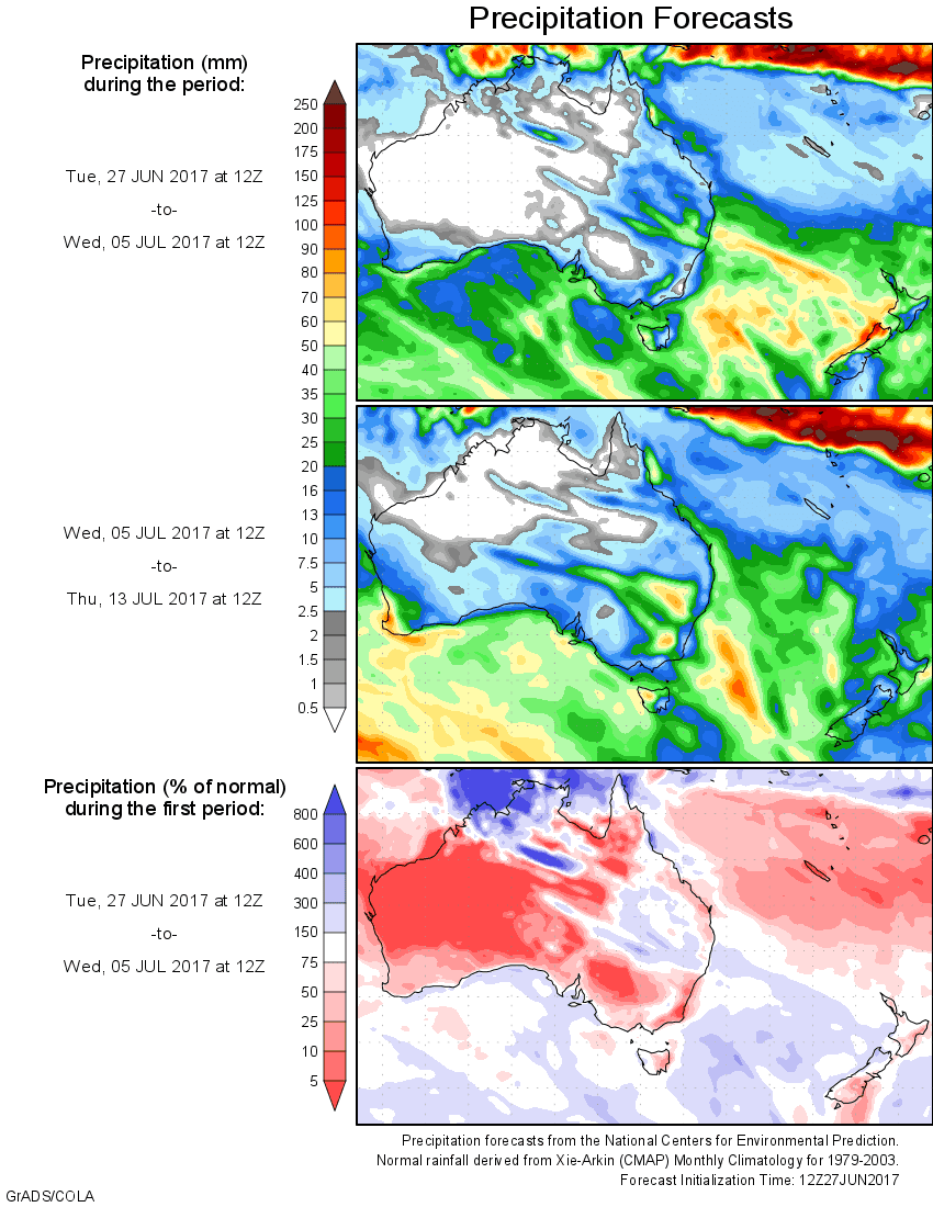
For today’s 14-day rainfall outlook – scroll to bottom of article
A low pressure system produced widespread rainfall over southwest Western Australia, while cold fronts produced moderate to heavy rainfall in western and northern Tasmania.
Past seven days: During the first part of the week, a low pressure system deepened near the southwest of Western Australia. Widespread showers with moderate to heavy falls were observed in southwest Western Australia and the southern Goldfields. Localised very heavy falls were recorded in the northern Great Southern district as the low moved slowly inland near the southwest coast before weakening and moving northwest-ward along the coast by mid-week. An inland trough and associated cloudband ahead of the low extended from the northwest to the south coast of Western Australia and moved across southern South Australia during the middle of the week, producing mostly light rainfall in central Western Australia and across the Nullarbor.
A middle level trough extending from the northwest of Western Australia developed with an associated cloudband and moved east through South Australia later in the week. Moderate rainfall was recorded in central Western Australia and central Pastoral areas in South Australia, while an onshore flow brought some falls to the south coast of Western Australia.
A westerly flow followed by a cold front produced light to moderate rainfall to western Tasmania and light falls in southern Victoria at the start of the week.
In the middle of the week, a second cold front crossed the southeast of the continent bringing moderate rainfall to western Tasmania and light falls in northern Tasmania and southern Victoria.
An onshore flow produced moderate falls to the north tropical coast in Queensland throughout the week.
Rainfall totals between 50 mm and 100 mm were recorded in a small area in the Lower West district around Perth, with localised higher falls in excess of 100 mm in the northern parts of the Great Southern district in Western Australia. Western Tasmania also recorded rainfall totals between 50 mm and 100 mm, with the highest national weekly total of 139 mm recorded at Mount Read.
Rainfall totals between 10 mm and 50 mm were recorded in much of the southern half of Western Australia, including the South West Land Division away from the northeast parts, the Eucla coast, Goldfields and the Southern Interior. Weekly totals in excess of 15 mm were recorded in the central Pastoral region in South Australia, on the southwest coast and in South and West Gippsland in Victoria, and across western and northern Tasmania. Totals in western Tasmania were in excess of 50 mm. The north tropical coast of Queensland also recorded rainfall totals between 10 mm to 50 mm.
Little or no rainfall was recorded in the northern half of Western Australia, western and eastern South Australia away from the extreme southeast, and most of the Northern Territory, Queensland, and New South Wales.
Highest weekly totals
New South Wales and Australian Capital Territory
15 mm Ballina Airport Aws
12 mm Hunter Springs (Wondecla)
11 mm Nashua (Wilsons River)
Victoria
26 mm Beech Forest
23 mm Ferny Creek
21 mm Corner Inlet (Yanakie), Pound Creek
Queensland
63 mm Bingil Bay
51 mm Innisfail
48 mm Innisfail Aerodrome
Western Australia
138 mm Wilgarra
136 mm Wandering
115 mm Huntly
South Australia
24 mm Tarcoola (Mobella)
16 mm Flinders Chase (Rocky River)
15 mm Coober Pedy
Tasmania
139 mm Mount Read
99 mm Lake Margaret Power Station
87 mm Queenstown (South Queenstown)
Northern Territory
7 mm Kulgera
5 mm Curtin Springs
1.8 mm Yulara Airport
More weekly rainfall totals:
- NSW/ACT totals click here
- Vic totals click here
- Qld totals click here
- WA totals click here
- SA totals click here
- Tas totals click here
- NT totals click here
Source: BOM
HAVE YOUR SAY