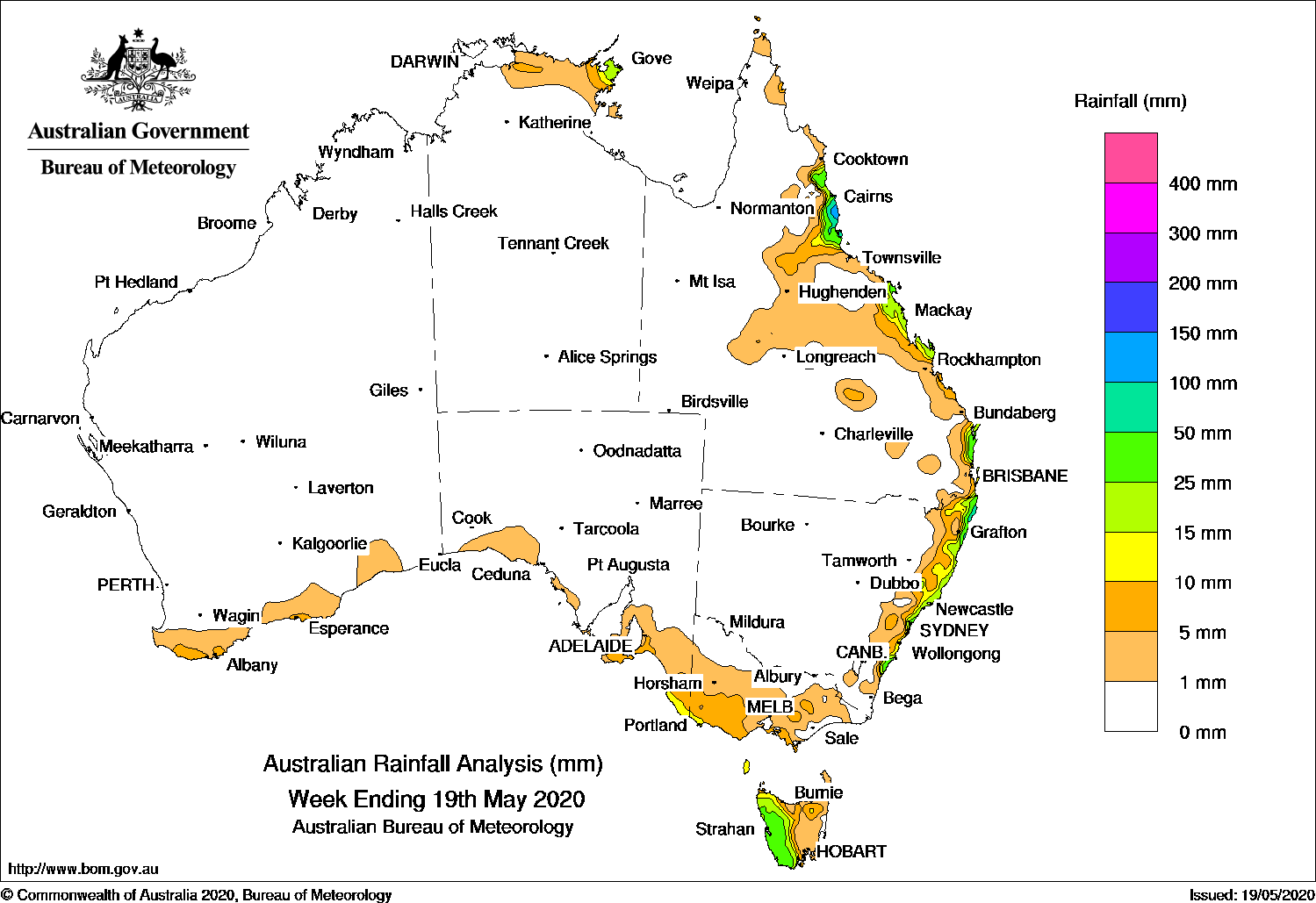
A cold front produced moderate falls in western Tasmania, while onshore flow brought showers and moderate falls to the east coast of Queensland and New South Wales.
Past seven days: At the start of the week, a cold front tracked across southeast Australia, interacting with a trough extending through New South Wales and inland Queensland. Moderate falls resulted in western Tasmania, while widespread light falls were recorded over much of Victoria and southeastern South Australia. Localised moderate falls were observed on the New South Wales south coast.
In the middle of the week, a surface trough situated near the east coast triggered showers and produced moderate falls in parts of coastal New South Wales and in southeastern Queensland. A trough across inland Queensland also produced scattered showers in parts of inland Queensland.
Moist onshore flow produced showers and moderate falls along the north tropical coast of Queensland in the first half of the week, as well as in Arnhem Land in the Northern Territory. A moist onshore flow continued to bring showers to parts of the east coast of Queensland and New South Wales for the rest of the week.
At the end of the week, a cold front brushed southwest Western Australia, and produced light falls along the south coast of Western Australia.
Rainfall totals in excess of 50 mm were recorded in parts of western Tasmania, the north tropical coast of Queensland, and isolated locations in northeast New South Wales. The highest weekly total was 141 mm at Innisfail Aerodrome in northern Queensland.
Rainfall totals in excess of 25 mm were recorded in the western third of Tasmania, and scattered areas along the east coast of Queensland and New South Wales.
Rainfall totals between 10 mm and 25 mm were recorded in small areas of coastal far southeastern South Australia and far southwestern Victoria, western and northern Tasmania, areas of Arnhem Land in the Northern Territory, and along much of the east coast of Queensland and New South Wales.
Light falls of up to 10 mm were reported in parts of coastal southern Western Australia, southern South Australia, much of Victoria and the eastern half of Tasmania.
Highest weekly totals
New South Wales and Australian Capital Territory
108 mm Ballina Airport AWS
107 mm Byron Bay (Cape Byron Aws), Wooli BeachByron Bay (Jacaranda Drive)
Victoria
15 mm Portland (Cashmore Airport)
12 mm Mount Baw Baw
11 mm Multiple locations
Queensland
141 mm Innisfail Aerodrome
134 mm Innisfail
130 mm South Johnstone Exp Stn
Western Australia
9 mm Albany, Northcliffe
8 mm Windrush, Shannon
South Australia
14 mm Robe
12 mm Lake George, Nangwarry Forestry SA Depot
Tasmania
68 mm Mount Read
53 mm Lake Margaret Dam
45 mm Queenstown (South Queenstown)
Northern Territory
37 mm Maningrida Airport
21 mm Gove Airport
6 mm Ngayawili, Oenpelli Airport
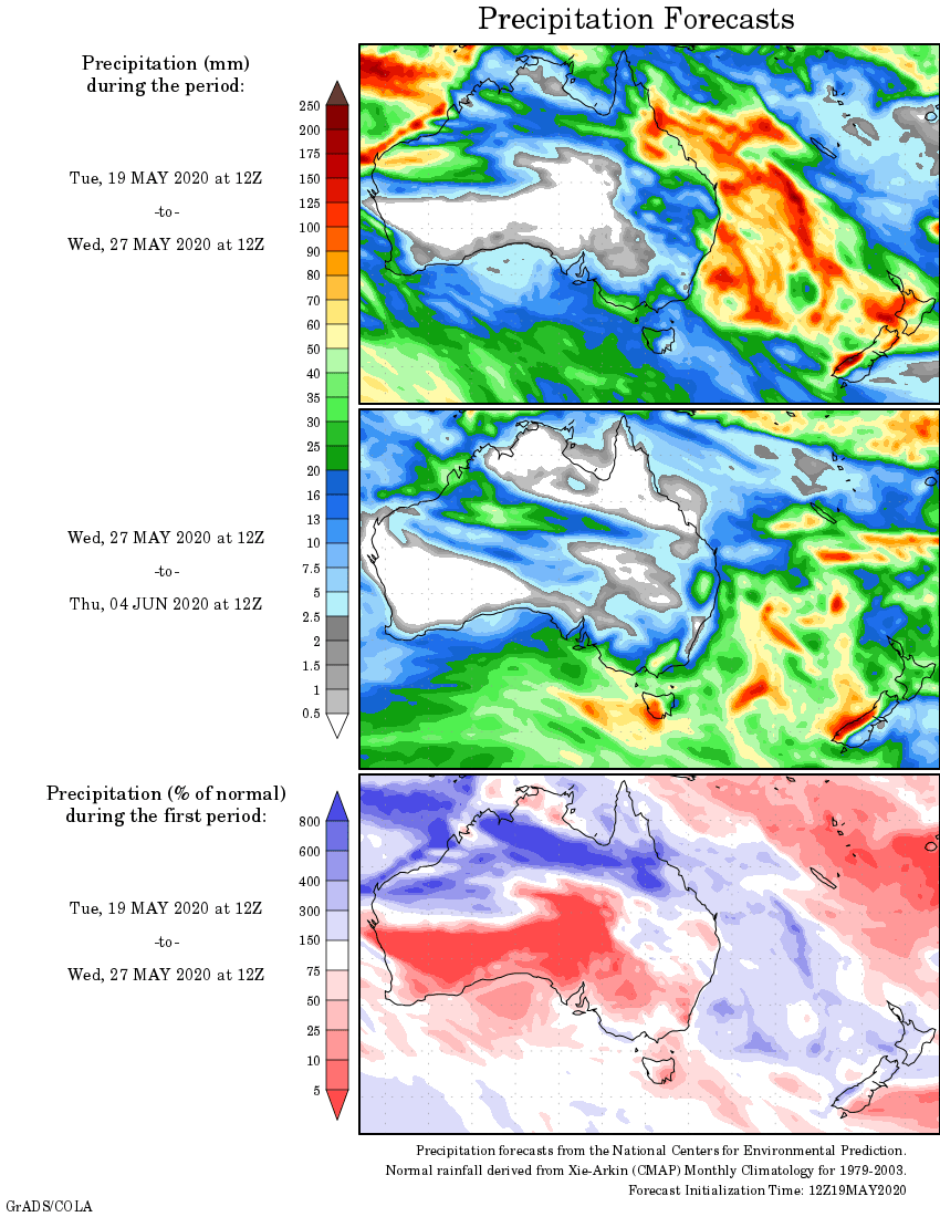
Rainfall outlook
HAVE YOUR SAY