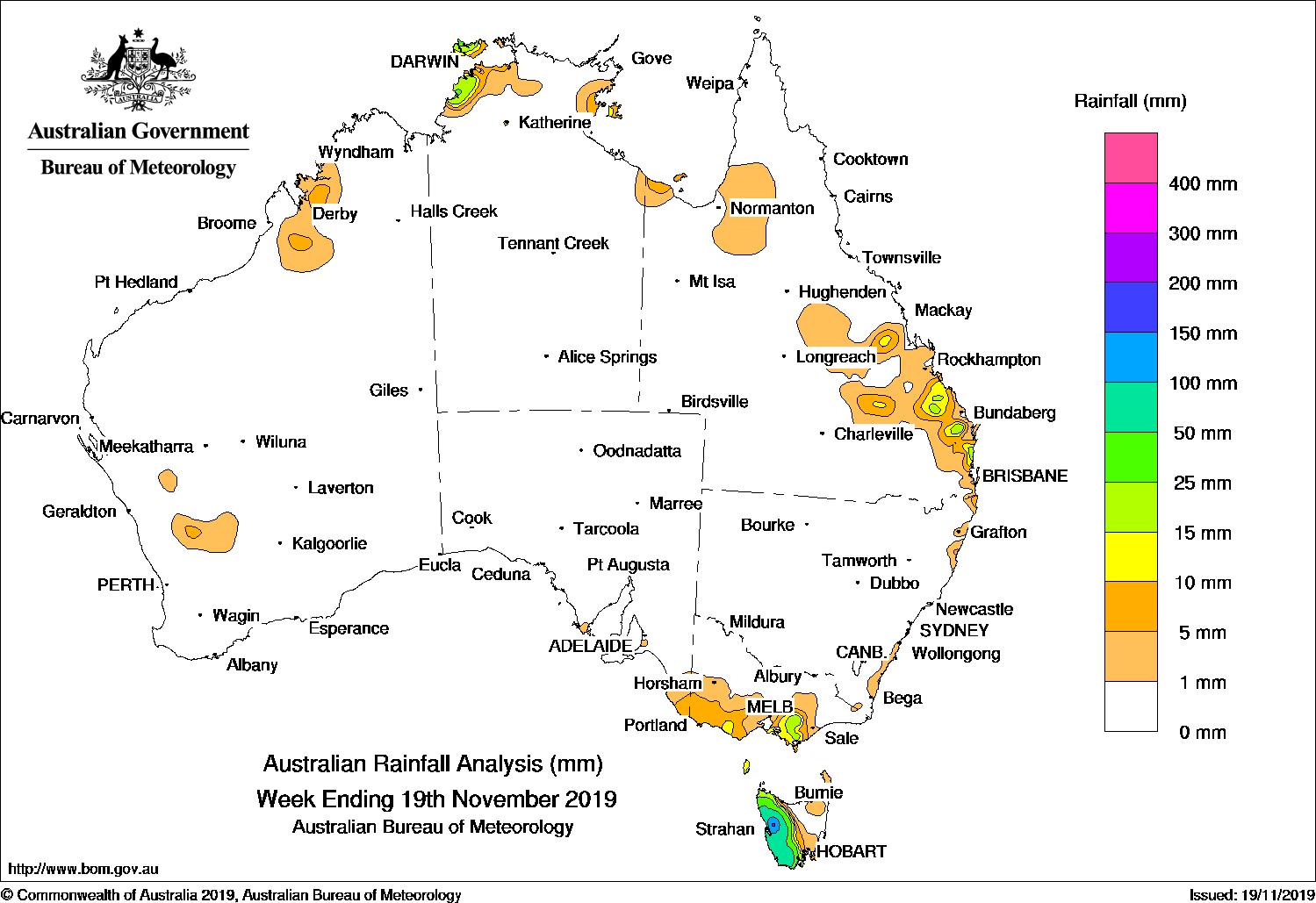
A series of cold fronts produced moderate to heavy falls in western Tasmania, while thunderstorms produced isolated moderate falls in the northern tropics; also the central to southeast coastline of Queensland.
Past seven days: A broad surface trough was located along the west, north and east coasts of the continent. From the middle of the week, isolated thunderstorms developed along the trough, with mainly light falls over near-coastal parts of Gulf Country and Top End in the Northern Territory, the Kimberley in Western Australia, and around the central Queensland coast.
In the last part of the week, a surface trough extended from the northwest to the southeast of Queensland. Showers and thunderstorms developed in a moist air mass to the east of the trough, with scattered light falls over the northwest, Central Highlands and Capricornia districts. The convective activity contracted to the Wide Bay and Burnett District, then to the southeast of Queensland and parts of the northeast coast of New South Wales at the end of the week.
Thunderstorms produced isolated moderate falls and large hail in areas of the Sunshine Coast and northern suburbs of Brisbane, but mainly light rainfall totals were recorded in the remaining areas of the southeast Queensland coast, and northeastern New South Wales.
Rainfall totals in excess of 50 mm were recorded across the western half of Tasmania. Areas in the West Coast District reported falls in excess of 100 mm, including the highest weekly total of 224 mm at Mount Read.
Rainfall totals in excess 25 mm were recorded in a small area of the Darwin–Daly District in the Northern Territory.
Rainfall totals of less than 25 mm were recorded in parts of the Kimberley and southwest interior of Western Australia; near-coastal parts of the Top End in the Northern Territory and the Gulf Country; from the central to southeast coasts and adjacent inland districts of Queensland, and pockets of the east coast of New South Wales. Similar totals were recorded from southwest to southern central Victoria, and far southeastern South Australia.
Little or no rainfall was recorded in remaining parts of country.
Highest weekly totals
New South Wales and Australian Capital Territory
20 mm Uki (Tweed River)Tweed Heads Golf Club
12 mm Moruya Heads Pilot StationKingscliff (Marine Parade)
Victoria
28 mm Balook
27 mm Mount Baw Baw
26 mm Erica (Parkers Corner)
Queensland
39 mm Theodore
37 mm Caloundra Airport
30 mm Beerburrum Forest Station
Western Australia
10 mm Meda
8 mm Napier Downs
6 mm Goodlands
South Australia
8 mm Nangwarry Forestry SA Depot
6 mm Mount Gambier AeroRobe
Tasmania
224 mm Mount Read
182 mm Lake Margaret Dam
161 mm Lake Margaret Power Station
Northern Territory
52 mm Geriatric Park
44 mm Labelle Downs
37 mm Kangaroo Flats (Defence)
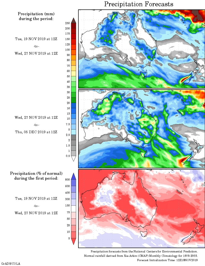
Rainfall outlook
HAVE YOUR SAY