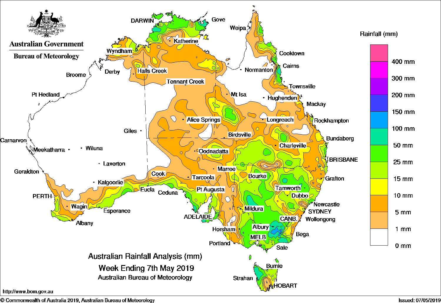
A cold front and an associated complex low pressure system produced moderate falls over parts of southern Australia and New South Wales, while a surface trough, extending from the Top End to southeastern Queensland, produced thunderstorms and moderate falls.
Past seven days: At the start of the week, a cold front and an associated cloudband with embedded thunderstorms extended from the northwest to southeast of the continent and brought light to moderate falls to the southern coasts of Western Australia and South Australia. A low pressure trough extended from the complex low pressure system in the Southern Ocean, and deepened over the Bight as the cold front generated isolated thunderstorms with light to moderate falls affecting southern parts of South Australia.
As the cold front and associated large cloudband progressed eastwards, embedded thunderstorms produced widespread moderate falls over parts of western, southern and central New South Wales, southwest Queensland, northern Tasmania, and much of Victoria. The cold front continued to track northeast through New South Wales and produced moderate falls over much of northeastern New South Wales and southern to southeast Queensland during the middle of the week.
Around mid-week, thunderstorms developed along a surface trough extending from the northwest Top End in the Northern Territory to southern Queensland.
At the end of the week, a cold front tracked across southwest Western Australia, and brought rain and moderate falls to the southwest.
Rainfall totals in excess of 100 mm were recorded in northeastern Victoria, including the highest weekly total of 173 mm at Falls Creek (Rocky Valley).
Rainfall totals in excess of 50 mm were recorded in pockets of southern coastal South Australia; northwestern Tasmania; elevated areas of Victoria in the northeast and East Gippsland; southeastern, and small parts of western and northeastern New South Wales; pockets of the north tropical coast of Queensland; and in the far northwest and northeast of the Top End in the Northern Territory.
Rainfall totals between 10 mm and 50 mm were recorded in along the coast of southwest and southern Western Australia and parts of the northern and eastern Kimberley; southern and northeastern South Australia; most of Tasmania except an area between the Southeast and Central Plateau districts; most of Victoria except along the western border; most of New South Wales away from the southeast and northeast coasts; western, southern and east coast Queensland; and northern and some eastern parts of the Northern Territory.
Little or no rainfall was recorded in remaining parts of Western Australia, western, central, and southern parts of the Northern Territory, northwest South Australia and along the eastern border in agricultural districts, extending into western border regions of Victoria, much of northern Queensland.
Highest weekly totals
New South Wales and Australian Capital Territory
118 mm Thredbo AWS
86 mm Perisher Valley AWS
80 mm Khancoban AWS
Victoria
173 mm Falls Creek (Rocky Valley)
136 mm Dederang
109 mm Mitta Mitta
Queensland
83 mmInnisfail
81 mmTully Sugar Mill
72 mmMt Sophia
Western Australia
36 mm Eyre
34 mm Wyndham Aero
33 mm Ellenbrae
South Australia
90 mm Flinders Chase (Rocky River)
77 mm Ashton
75 mm Cape Borda
Tasmania
85 mm Mount Read
75 mm Zeehan
72 mm Strahan Aerodrome
Northern Territory
92 mm Adelaide River Post Office
85 mm Alcan Minesite
83 mm Oenpelli Airport
Source: BOM
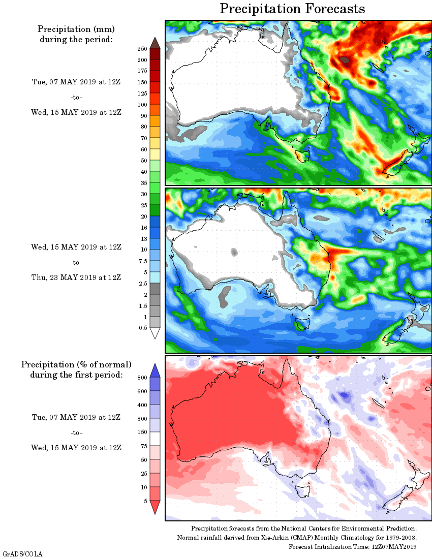
Rainfall outlook:
HAVE YOUR SAY