 A HIGH degree of ‘scatter’ in weather forecasting models is making it hard to predict what’s in store for the forthcoming winter cropping season, according to CottonInfo/AgEcon climate risk technical lead, Jon Welsh, NSW.
Referring in particular to the eastern farming regions, Mr Welsh said soil moisture levels were very low and there was “quite an empty bucket” which was a concern for anyone looking to plant winter crop this year.
Confounding the predictions for the season, he said a negative Indian Ocean Dipole (IOD) – which pointed to enhanced rainfall across southern Australia – was “potentially on the cards”, but it was conflicting with the message coming from the Pacific Ocean where there were El Niño undertones – pointing to drier conditions.

Jon Welsh
“That is quite a unique situation. Should it occur, 1930 is the last time we had a classified negative IOD combined with an El Niño situation in the Pacific,” he said.
“It will be interesting to see how this pans out. It is early days. Obviously caution at this stage is recommended given the current soil moisture.
“There is no strong ‘wet’ signal or ‘signpost’ similar to 2016 to say we should have confidence to go forth and be bullish about the upcoming winter crop prospects.”
Speaking in a CottonInfo webinar on the outlook for the coming season, Mr Welsh said while the negative IOD forecast was encouraging, not all global models were showing consensus.
“We need to keep an eye on that as it unfolds knowing that its life cycle commences in May/June and runs through until October,” he said.
“With the ENSO (El Niño–Southern Oscillation), this time last year we were flagging El Niño events and it actually ended up as a La Niña event. So, again, it is early days.
“It is the start of the calendar year for ENSO phenomenon and El Niño events are harder to predict than La Niña. These remote climate drivers will be more settled in June as the winter cropping season unfolds.
“It is a very tough year to pick, particularly when we have conflicting messages coming out of different moisture sources.
“It is a case of watch and monitor, and have a bet each way remembering that other influences such as the position of the subtropical ridge can really dictate moisture penetrating into the Murray Darling Basin.”
Also speaking in the webinar, Agrometeorology Australia managing director, Dr David Stephens, Western Australia, outlined the developing climatic conditions likely to impact the winter cropping season in Australia:
- There are early precursors of an El Nino-type year developing. However, sub-surface warming in the Pacific Ocean appears to be racing ahead of the atmosphere (pressure, winds) and a late-developing event looks to be on the cards.
- In the Australian region, below normal pressure over the continent and warming sea surface temperature north and north west of Australia is slowing setting up a favourable pattern for growing season rain. However, cool sea surface temperature north west of Perth is affecting moisture inflow from the north west and could contribute to a later start in southern areas.
- Sub-surface heat suggests a negative Indian Ocean Dipole (IOD) could develop in coming months, which is more favourable for south east Australia. A late El Nino looks to affect the finish to the season in Queensland, but not in a major way at this stage.
- Agrometeorology Australia analogue years have been suggesting an average to good winter season since early November 2017.
View the full CottonInfo winter growing season weather outlook webinar:
ENSO remains neutral: BOM
Meanwhile, the Bureau of Meteorology, in its latest report, said the ENSO remained neutral, with neither El Niño nor La Niña in the tropical Pacific Ocean.
The Bureau said international models suggested it would remain neutral through at least the Southern Hemisphere winter.
Atmospheric and oceanic indicators of ENSO were generally at near average levels.
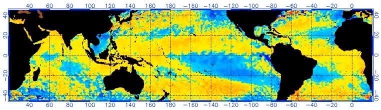
Sea surface temperatures (SSTs) were close to the long-term average across the tropical Pacific Ocean, and waters beneath the surface were slightly warmer than average.
In the atmosphere, the Southern Oscillation Index (SOI) and trade winds were both within the neutral range.
The Bureau said international models suggested the tropical Pacific Ocean would warm slowly over the coming months, but remain ENSO-neutral for the southern hemisphere winter.
Only one of eight climate models suggested sea surface temperatures mighy approach El Niño thresholds by September; the rest maintained ENSO-neutral.
The Bureau also said the IOD was currently neutral. Half of the surveyed climate models suggested the IOD would remain neutral for winter, while the other half predicted a negative IOD.
However, the present above average SSTs off northwest Australia were a result of reduced cloud cover increasing solar warming.
The Bureau said if this pattern persisted, a typical negative IOD response, such as more cloud off north west Australia, was less likely.
Grain Central: Get our free daily cropping news straight to your inbox – Click here
HAVE YOUR SAY